Student Life at Cranfield University
Cranfield is at the centre of two very beautiful and interesting worlds, the modern city of Milton Keynes and the country town of Bedford. Both options are just a few miles away from campus and are accessible by car, or by public transport.
While Shrivenham, a Ministry of Defence establishment on the Oxfordshire/Wiltshire borders, lies in the picturesque Vale of the White Horse, seven miles from Swindon.
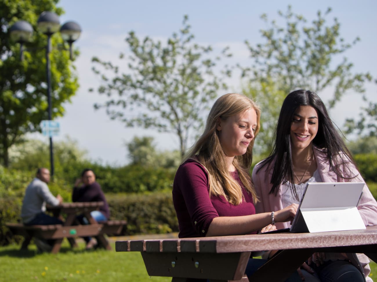
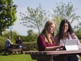
On campus, there is a true sense of community, helping you to forge friendships during your studies and leisure time, in a safe and peaceful environment. Whatever your recreational, social, or sporting interests, there are many opportunities to make friends and have a great time.
Cranfield Campus:
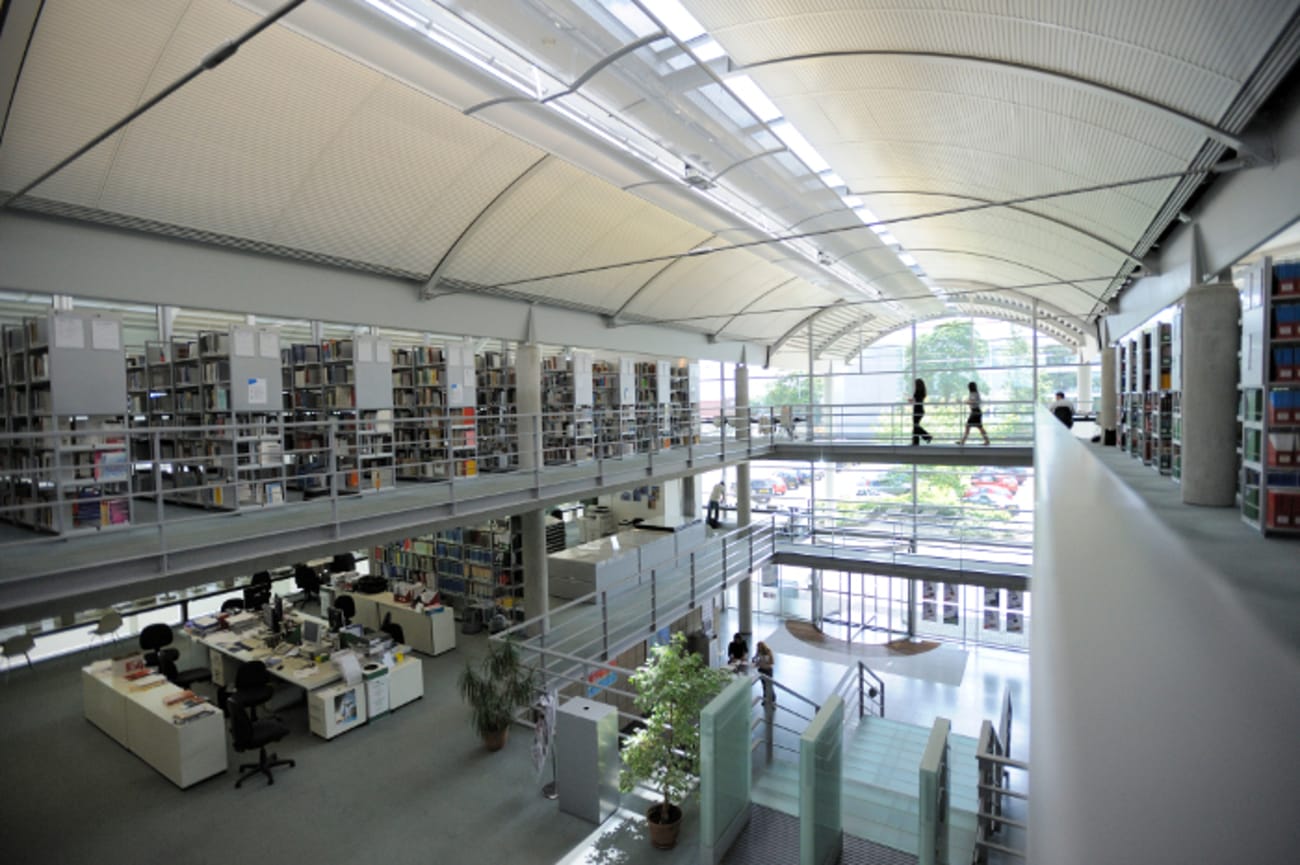
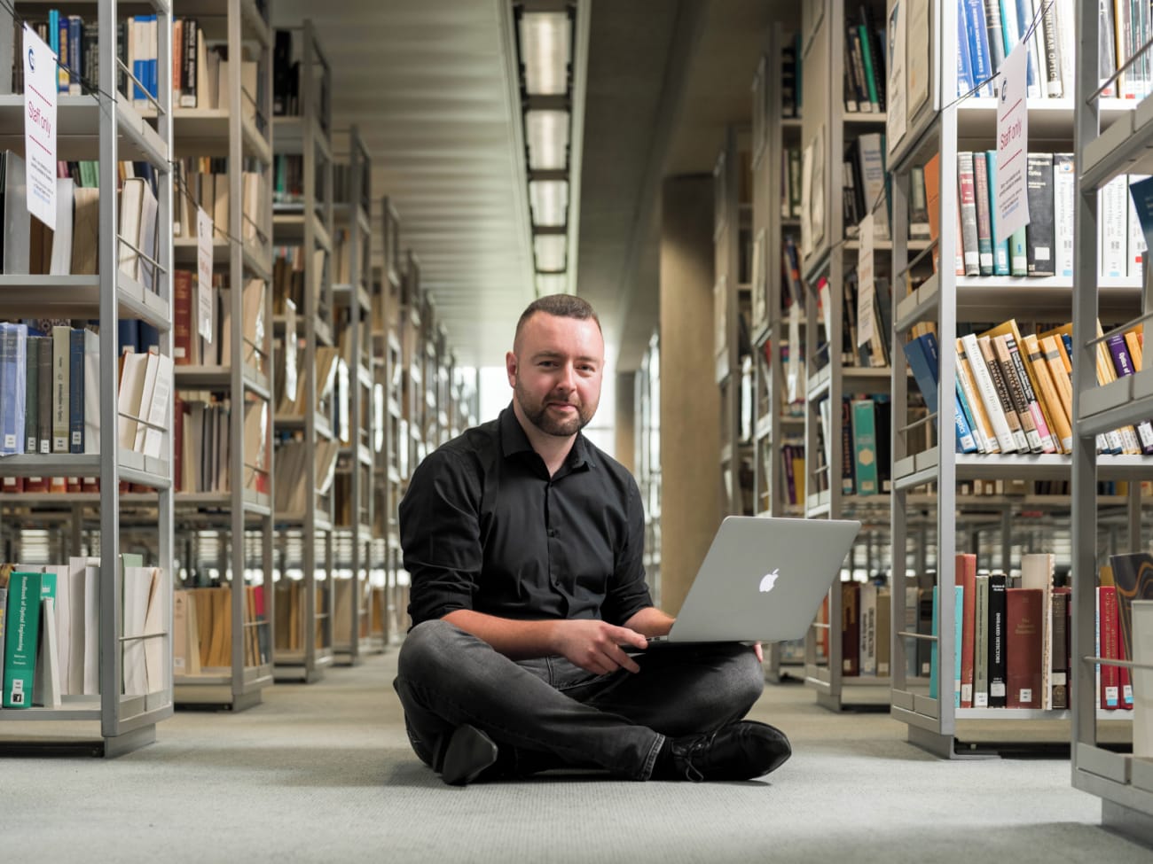
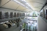
Green Spaces - on campus you will find plenty of open spaces to relax, rejuvenate and simply enjoy. The open spaces are great for taking a break or for use as an alternative study area during the summer.
Hartley’s Bar (within the CMDC) - offering a relaxed and welcoming environment, hosting regular events, including karaoke nights, live music, and themed evenings.
Eating - We have several cafés and restaurants, which serve everything from ice-creams, coffees, and international snacks to hot meals. Located in front of Cranberries, our Costa Coffee outlet provides freshly brewed tea and coffee, along with a variety of cakes, pastries, and light snacks. We also have a regular street food area offering a variety of different world foods for you to experience.
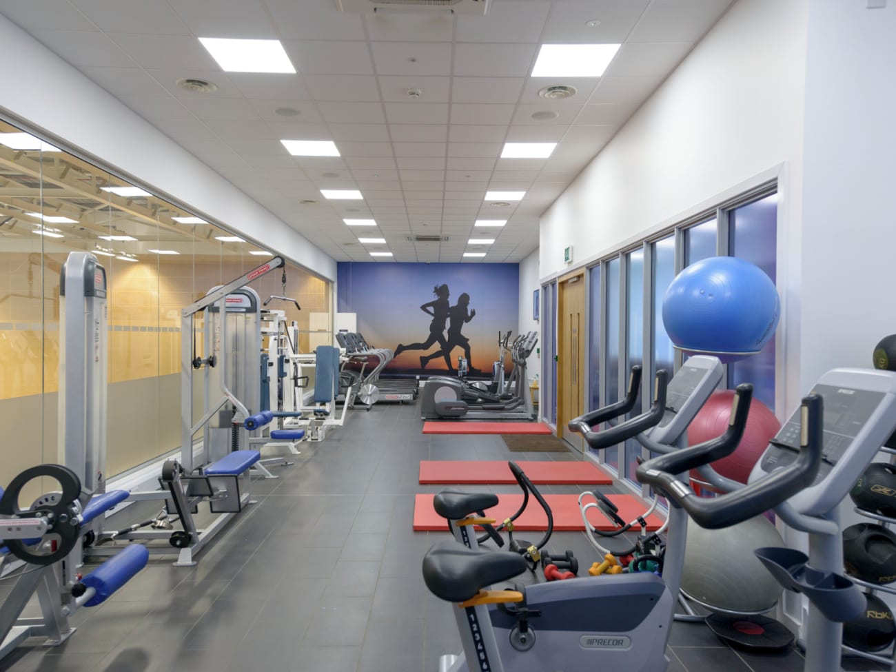
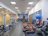
Gym - enjoy our well-equipped fitness centre which is split between a free weights room, a functional training room and a general-purpose gym with a range of resistance and cardiovascular machines.
Outdoor Sports Facility - grassed, multi-use playing field features full-size football, rugby and cricket pitches and is also ideal for training, while our multi-use games area features two floodlit, fully fenced, five-a-side pitches with synthetic artificial turf.
Relaxation and Therapy - A range of therapeutic and professional services are offered by external companies operating at our Cranfield sports centre.
Worship - We have an ecumenical chapel where Christian groups can meet and Roman Catholic mass is celebrated, a Mosque for daily and Friday prayer, Quran study, Eid and Ramadan observations, and close links with other local places of worship.
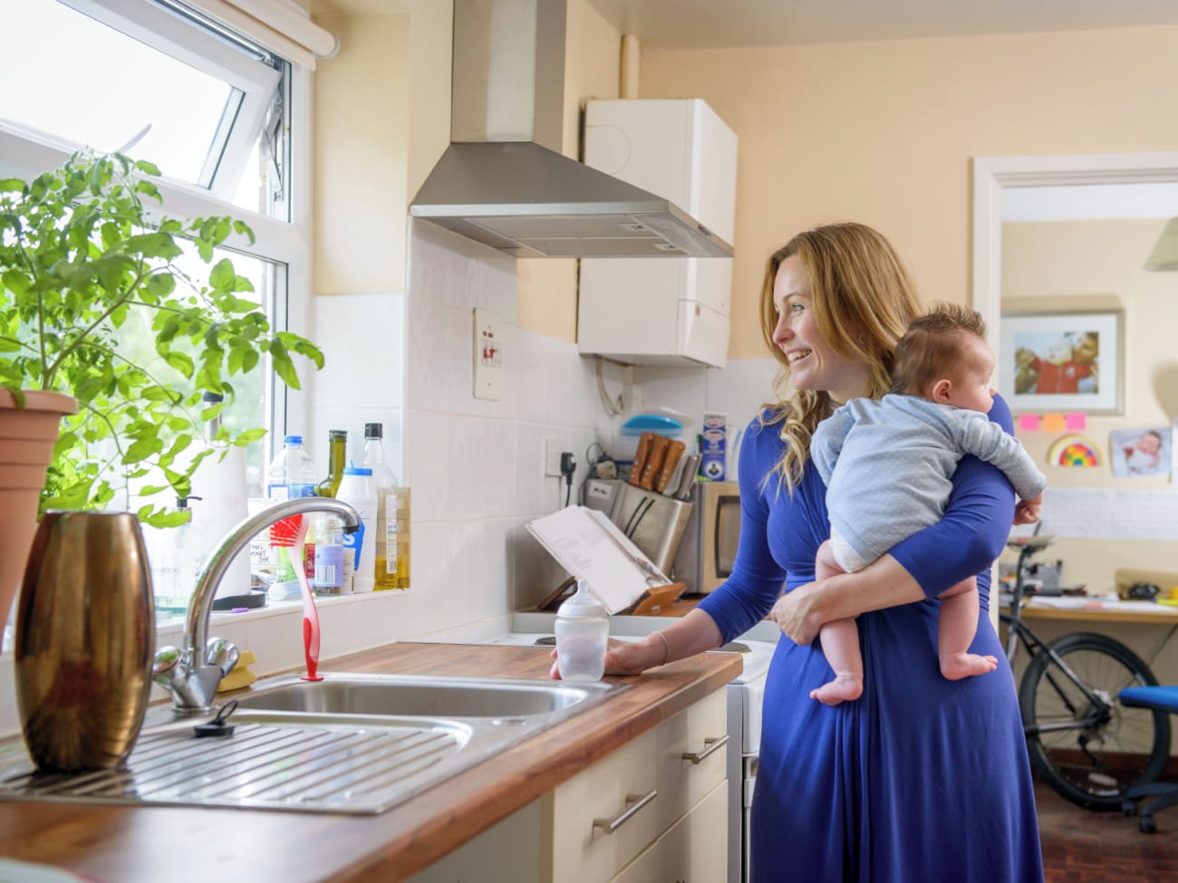
Bringing a Family to Cranfield - To keep children entertained the Cranfield Students Association regularly organises a comprehensive programme of fun and engaging activities including parties, games, and events throughout the year.
Look at other activities available during your time at Cranfield by visiting our Life at Cranfield page: https://www.cranfield.ac.uk/study/life-on-campus/life-at-cranfield
Accommodation
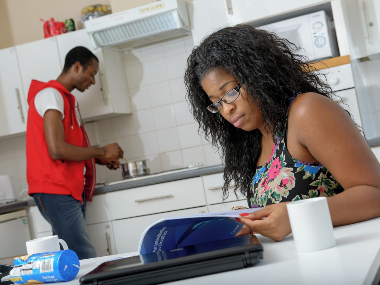
Living on campus can be a great way for you to meet and socialise with other students, and to benefit from the supportive infrastructure and sense of community spirit this brings. However, we also understand that many students will still want to have the opportunity to live with partners and families, which is why we also offer affordable family homes and apartments for couples.
All our accommodation is within easy reach of the campus buildings and all the great amenities Cranfield University offers. There is plenty of parking space available for students who wish to bring their car. Chilver Hall - Fully furnished single or double standard ensuite rooms Stringfellow Hall - Fully furnished single ensuite rooms Lanchester Hall - Fully furnished single and double ensuite and shared bathroom option rooms Baroness Young Hall - Fully furnished premier single ensuite rooms and studio apartments Mitchell Hall - Fully furnished standard and ensuite rooms both fully catered Family Homes - Two, Three and Four bedroomed furnished family homes Apartments For Couples - Furnished Studio Apartments