MSc In Geomatics
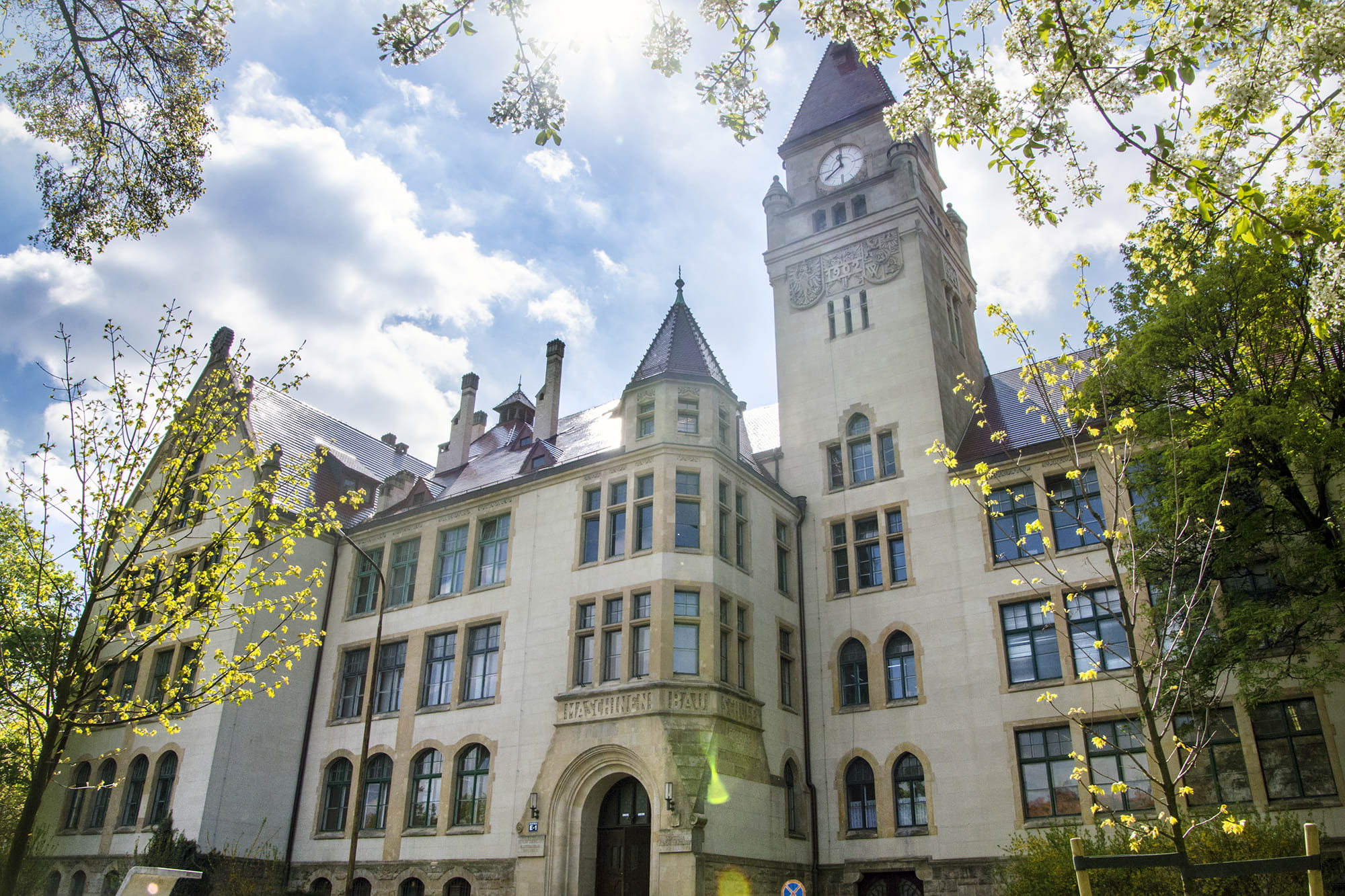
Wroclaw University of Science and Technology

Key Information
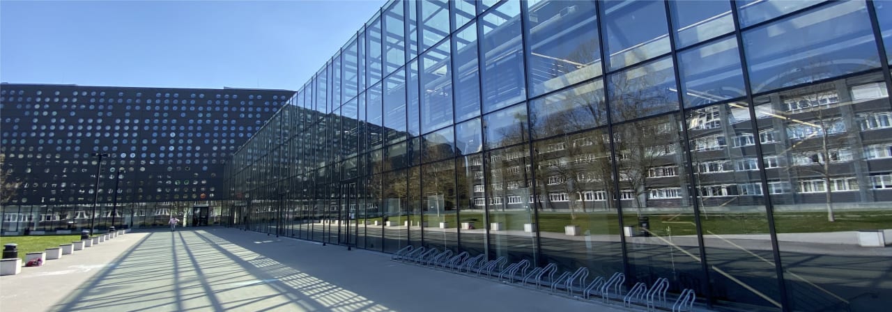
Campus location
Wrocław, Poland
Languages
English
Study format
On-Campus
Duration
3 semesters
Pace
Full time
Tuition fees
EUR 2,000 / per semester *
Application deadline
15 Nov 2024
Earliest start date
Request info
* Application fee 20 EUR.
Introduction
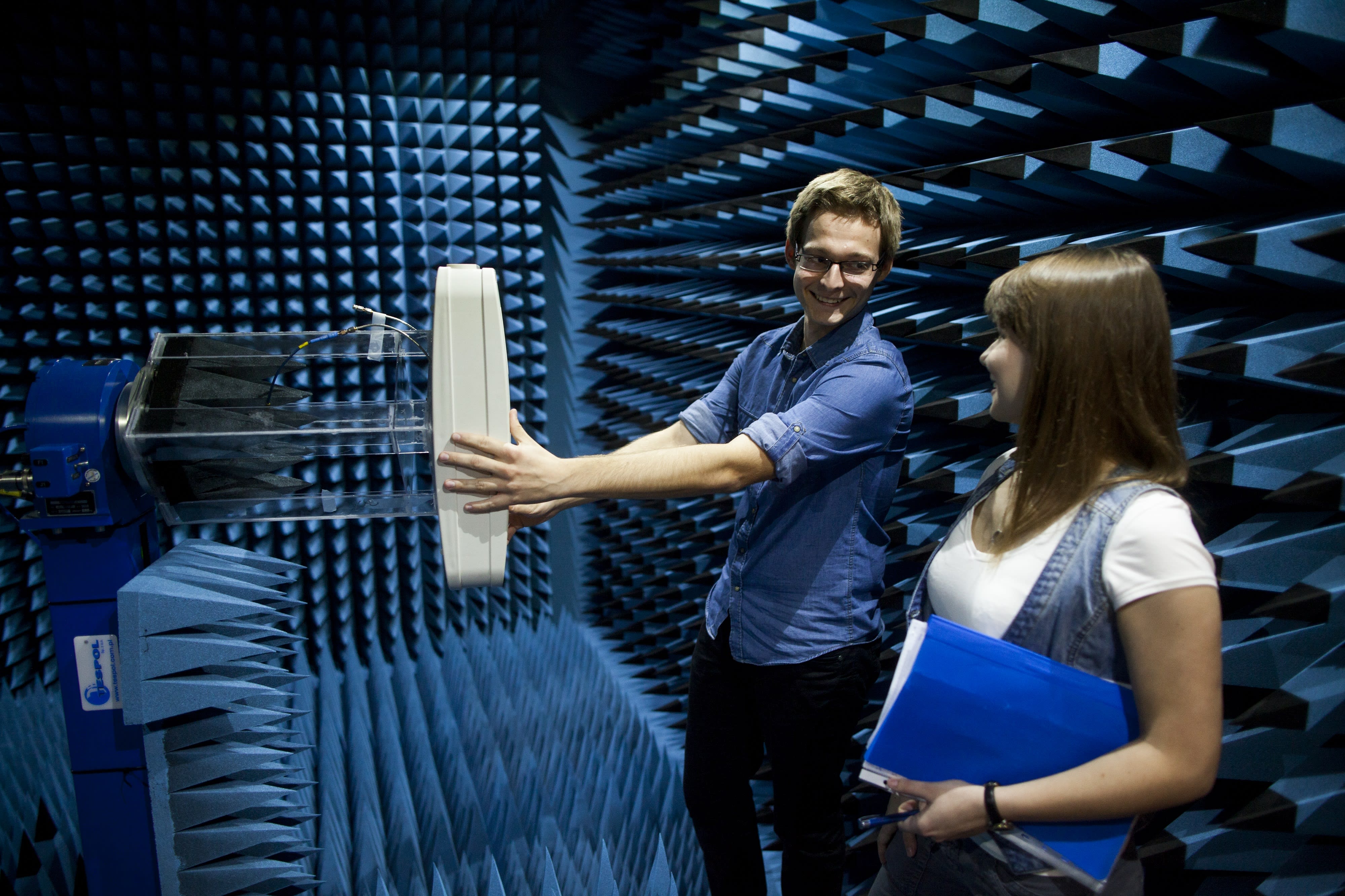
Geomatics is an interdisciplinary scientific and technical discipline that combines aspects of surveying and sensor technology with data processing, geoinformatics, and geomodelling. It deals with the acquisition, analysis, interpretation, dissemination, and practical application of geoinformation. Geomatics analyses and synthesises information about spatial processes and phenomena and their changes. Geodata is used to create precise computer models that help us to better understand spatial processes and shape future activities. Geodata is an element of almost every intelligent IT system. Stimulating the demand for geoinformation may affect the innovativeness of the economy and allow the entrepreneurs and science to play a significant, more noticeable role in the global market. The universality of geoinformation and the prospect of a further increase in its use (processing and analysing large collections of geodata) generate demand for specialists in the field of development and management of geoinformatics knowledge. Education in the field of Geodesy and Cartography with a specialization in Geomatics at the Faculty of Geoengineering, Mining, and Geology of Wrocław University of Science and Technology meets this demand.
Job Prospects
The Geomatics graduate will be prepared to work for enterprises, engineering supervision bodies, state administration, design offices, and research units, where in-depth specialised knowledge of modern geodetic and remote sensing techniques of spatial data acquiring, as well as further advanced analyses in Geographic Information Systems and visualisations are required.
Entry Information
Requirements: the programme is meant for holders of a first-degree diploma in engineering studies, especially in the field of geodesy and cartography. Each application is assessed individually on its merits. If in doubt, please contact an Admission Officer.
English Language Requirements
The equivalent of minimum TOEFL IBT – 87 points or 6.5 points IELTS. A list of accepted language certificates can be checked online.